Early Adopter

Applied Research Topic
Potential Applications ► Ecological forecasting; Water resources; Urban and wetland flooding; Disasters
Description
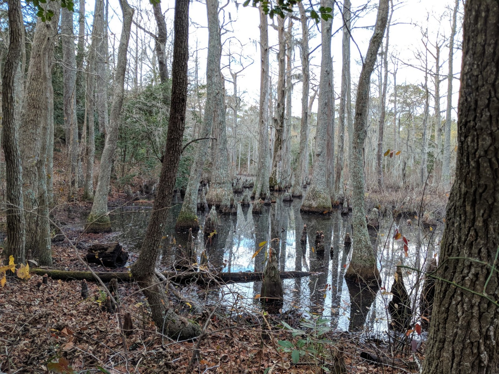
Our project will leverage the hyperspectral properties of the PACE Ocean Color Instrument (OCI) to investigate subtler spectral characteristics of surface vegetation, using OCI spectral data to advance vegetation indices and estimate the associated fractional canopy cover, leaf-area index, and roughness length. PACE provides high-resolution spectral information in the ultraviolet and near-infrared regions as compared to current and legacy satellite instruments. This capability of PACE will enhance existing vegetation parameterizations relative to existing data products provided by e.g., MODIS and VIIRS. These enhanced parameterizations will lead to improved land surface and hydrological modeling (particularly surface fluxes), which will further our understanding of wetland ecosystem health and structure in the Chesapeake Bay and southeastern Virginia.Significance
Health and structure of wetland ecosystems are of importance both to policymakers and the public. Wetlands improve water quality, absorb pollutants, and moderate impacts of flooding, supporting conservation and biodiversity and protecting life and property. Wetland ecosystems also provide the public a variety of recreation opportunities.Why PACE
Hyperspectral PACE data from the Ocean Color Instrument (OCI) can be used to derive and build upon hyperspectral vegetation indices, such as the Modified Triangular Vegetation Index 2 (MTVI2), as well as support the continuity of traditional spectral indices such as Normalized Difference Water Index (NDWI) and the Normalized Difference Drought Index (NDDI). The MTVI2 is of particular interest because its relationship with Leaf Area Index (LAI) has been shown to be more robust than other vegetation indices which tend to saturate at medium-to-high vegetation densities.End User(s)
Chesapeake Bay water quality managers and run-off modelersCoastal Virginia and Maryland city managers and disaster/flooding responders
SAT Partner(s)
K. Fred HuemmrichPublications
Jasinski, M.F., J.S. Borak, S.V. Kumar, et al. (2019). NCA-LDAS: Overview and analysis of hydrologic trends for the National Climate Assessment. J. Hydrometeor., 20: 1595-1617. DOI: https://doi.org/10.1175/JHM-D-17-0234.1
Kumar, S.V., D.M. Mocko, S. Wang, C.D. Peters-Lidard, and J.S. Borak. (2019). Assimilation of remotely sensed Leaf Area Index into the Noah-MP land surface model: Impacts on water and carbon fluxes and states over the continental U.S. J. Hydrometeor., 20: 1359-1377. DOI: https://doi.org/10.1175/JHM-D-18-0237.1
Borak, J. S., M. Jasinski, and R. Crago. (2005). Time series vegetation aerodynamic roughness fields estimated from MODIS observations. Agric For Meteorol., 135: 252-268. DOI: https://doi.org/10.1016/j.agrformet.2005.12.006